
Thank you for supporting this site ❤️
Make a donation
Make a donation
Camas topographic map
Click on the map to display elevation.
Thank you for supporting this site ❤️
Make a donation
Make a donation
About this map
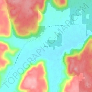
Name: Camas topographic map, elevation, terrain.
Location: Camas, Stevens County, Washington, United States (48.01933 -117.87941 48.05933 -117.83941)
Average elevation: 706 m
Minimum elevation: 648 m
Maximum elevation: 792 m
Thank you for supporting this site ❤️
Make a donation
Make a donation
Other topographic maps
Click on a map to view its topography, its elevation and its terrain.