
Make a donation
Ravangla topographic map
Click on the map to display elevation.
Make a donation
Ravangla
Rabong or Ravangla is a small town with an elevation of 8000 feet located, near Namchi City in the Namchi district of the Indian state of Sikkim. It is connected by state highway to other major towns in the state and lies between Namchi, Pelling and Gangtok. It is the starting point for the trek to Maenam Wildlife Sanctuary. It is approximately 65 km from the state capital, Gangtok, and 120 km from Siliguri, West Bengal. The name is derived from the Sikkimese language. ‘Ra’ means wild sheep, 'vong' translates to a rearing place, and ‘la’ means a pass.
Make a donation
About this map
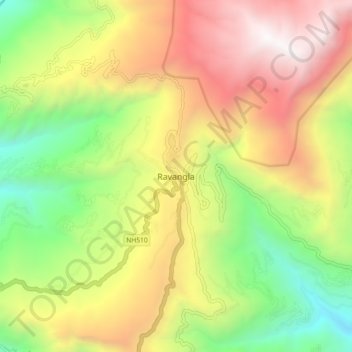
Name: Ravangla topographic map, elevation, terrain.
Location: Ravangla, Ravong, Namchi, Sikkim, 737139, India (27.26513 88.32447 27.34513 88.40447)
Average elevation: 1,870 m
Minimum elevation: 682 m
Maximum elevation: 3,229 m
Make a donation
Other topographic maps
Click on a map to view its topography, its elevation and its terrain.