
Thank you for supporting this site ❤️
Make a donation
Make a donation
Kotaanyar topographic map
Click on the map to display elevation.
Thank you for supporting this site ❤️
Make a donation
Make a donation
About this map
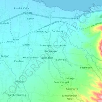
Name: Kotaanyar topographic map, elevation, terrain.
Location: Kotaanyar, Probolinggo, East Java, Java, Indonesia (-7.78493 113.49371 -7.70493 113.57371)
Average elevation: 43 m
Minimum elevation: -1 m
Maximum elevation: 296 m
Thank you for supporting this site ❤️
Make a donation
Make a donation