
Thank you for supporting this site ❤️
Make a donation
Make a donation
Ajung topographic map
Click on the map to display elevation.
Thank you for supporting this site ❤️
Make a donation
Make a donation
About this map
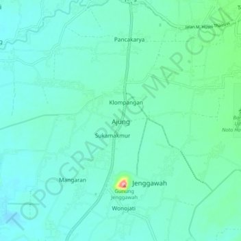
Name: Ajung topographic map, elevation, terrain.
Location: Ajung, Jember, East Java, Java, 68171, Indonesia (-8.28566 113.61323 -8.20566 113.69323)
Average elevation: 61 m
Minimum elevation: 35 m
Maximum elevation: 205 m
Thank you for supporting this site ❤️
Make a donation
Make a donation