
Thank you for supporting this site ❤️
Make a donation
Make a donation
النخيل topographic map
Click on the map to display elevation.
Thank you for supporting this site ❤️
Make a donation
Make a donation
About this map
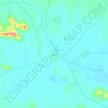
Name: النخيل topographic map, elevation, terrain.
Location: النخيل, Al Hinakiyah, Medina Province, Saudi Arabia (25.04577 40.42172 25.08577 40.46172)
Average elevation: 928 m
Minimum elevation: 916 m
Maximum elevation: 1,003 m
Thank you for supporting this site ❤️
Make a donation
Make a donation
Other topographic maps
Click on a map to view its topography, its elevation and its terrain.