
Kampong Bang Dalam topographic map
Interactive map
Click on the map to display elevation.
About this map
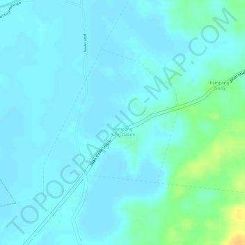
Name: Kampong Bang Dalam topographic map, elevation, terrain.
Location: Kampong Bang Dalam, Mukim Lamunin, Tutong District, Brunei (4.65647 114.67239 4.67269 114.68738)
Average elevation: 7 m
Minimum elevation: 1 m
Maximum elevation: 31 m