
浪多乡 topographic map
Interactive map
Click on the map to display elevation.
About this map
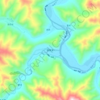
Name: 浪多乡 topographic map, elevation, terrain.
Location: 浪多乡, 德格县, 甘孜藏族自治州, 四川省, 627200, 中国 (32.26107 98.89981 32.34107 98.97981)
Average elevation: 3,946 m
Minimum elevation: 3,675 m
Maximum elevation: 4,648 m
Other topographic maps
Click on a map to view its topography, its elevation and its terrain.