
东大街村 topographic map
Interactive map
Click on the map to display elevation.
About this map
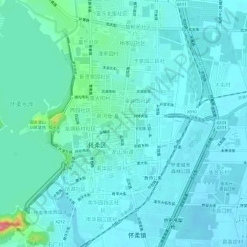
Name: 东大街村 topographic map, elevation, terrain.
Location: 东大街村, 怀柔区, 北京市, 101422, 中国 (40.29886 116.61160 40.33886 116.65160)
Average elevation: 52 m
Minimum elevation: 40 m
Maximum elevation: 129 m
Other topographic maps
Click on a map to view its topography, its elevation and its terrain.