
蚂蟥沟 topographic map
Interactive map
Click on the map to display elevation.
About this map
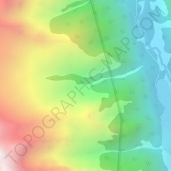
Name: 蚂蟥沟 topographic map, elevation, terrain.
Location: 蚂蟥沟, 人参果坪, 小金县, 阿坝藏族羌族自治州, 四川省, 中国 (31.06383 102.75389 31.07067 102.78122)
Average elevation: 4,012 m
Minimum elevation: 3,341 m
Maximum elevation: 5,056 m
Other topographic maps
Click on a map to view its topography, its elevation and its terrain.