
西坝镇 topographic map
Interactive map
Click on the map to display elevation.
About this map
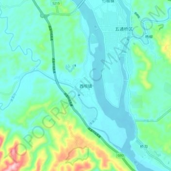
Name: 西坝镇 topographic map, elevation, terrain.
Location: 西坝镇, 五通桥区, 乐山市, 四川省, 中国 (29.34155 103.75475 29.42155 103.83475)
Average elevation: 393 m
Minimum elevation: 333 m
Maximum elevation: 649 m
Other topographic maps
Click on a map to view its topography, its elevation and its terrain.