
Thank you for supporting this site ❤️
Make a donation
Make a donation
Cane Valley topographic map
Click on the map to display elevation.
Thank you for supporting this site ❤️
Make a donation
Make a donation
About this map
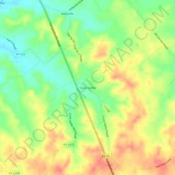
Name: Cane Valley topographic map, elevation, terrain.
Location: Cane Valley, Adair County, Kentucky, United States (37.16034 -85.33968 37.20034 -85.29968)
Average elevation: 255 m
Minimum elevation: 219 m
Maximum elevation: 292 m
Thank you for supporting this site ❤️
Make a donation
Make a donation