
Thank you for supporting this site ❤️
Make a donation
Make a donation
Weruweru topographic map
Click on the map to display elevation.
Thank you for supporting this site ❤️
Make a donation
Make a donation
About this map
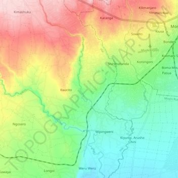
Name: Weruweru topographic map, elevation, terrain.
Location: Weruweru, Kiyungi, Hai, Kilimanjaro, Northern Zone, Tanzania (-3.43555 37.26493 -3.33356 37.31764)
Average elevation: 832 m
Minimum elevation: 734 m
Maximum elevation: 972 m
Thank you for supporting this site ❤️
Make a donation
Make a donation