
Thank you for supporting this site ❤️
Make a donation
Make a donation
Lucero topographic map
Click on the map to display elevation.
Thank you for supporting this site ❤️
Make a donation
Make a donation
About this map
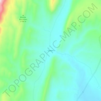
Name: Lucero topographic map, elevation, terrain.
Location: Lucero, Mora County, New Mexico, United States (35.99643 -105.24834 36.03643 -105.20834)
Average elevation: 2,230 m
Minimum elevation: 2,136 m
Maximum elevation: 2,525 m
Thank you for supporting this site ❤️
Make a donation
Make a donation