
西龙门山 topographic map
Interactive map
Click on the map to display elevation.
About this map
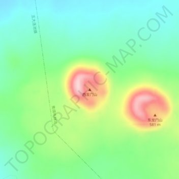
Name: 西龙门山 topographic map, elevation, terrain.
Location: 西龙门山, 焦得布林场, 五大连池市, 黑河市, 黑龙江省, 中国 (48.70893 126.35156 48.70903 126.35166)
Average elevation: 412 m
Minimum elevation: 336 m
Maximum elevation: 567 m
Other topographic maps
Click on a map to view its topography, its elevation and its terrain.