
Thank you for supporting this site ❤️
Make a donation
Make a donation
Lake Saint Clair topographic map
Click on the map to display elevation.
Thank you for supporting this site ❤️
Make a donation
Make a donation
About this map
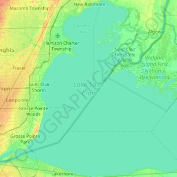
Name: Lake Saint Clair topographic map, elevation, terrain.
Location: Lake Saint Clair, Macomb County, Michigan, United States (42.29658 -82.94216 42.69047 -82.40793)
Average elevation: 177 m
Minimum elevation: 171 m
Maximum elevation: 199 m
Thank you for supporting this site ❤️
Make a donation
Make a donation
Other topographic maps
Click on a map to view its topography, its elevation and its terrain.
Sterling Heights
United States > Michigan > Macomb County > Sterling Heights > Sterling Heights
Average elevation: 205 m
Chesterfield Shores
United States > Michigan > Macomb County > Chesterfield Township
Average elevation: 178 m
Forest Lake
United States > Michigan > Macomb County > Shelby Charter Township
Average elevation: 202 m
Thank you for supporting this site ❤️
Make a donation
Make a donation