
Thank you for supporting this site ❤️
Make a donation
Make a donation
Kurugunda topographic map
Click on the map to display elevation.
Thank you for supporting this site ❤️
Make a donation
Make a donation
About this map
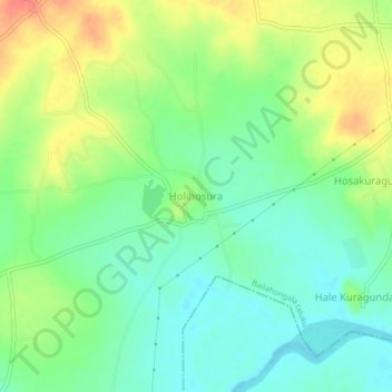
Name: Kurugunda topographic map, elevation, terrain.
Location: Kurugunda, Bailahongala taluku, Belagavi, Karnataka, India (15.71536 74.72627 15.75536 74.76627)
Average elevation: 649 m
Minimum elevation: 626 m
Maximum elevation: 684 m
Thank you for supporting this site ❤️
Make a donation
Make a donation