
Thank you for supporting this site ❤️
Make a donation
Make a donation
Máze - Masi topographic map
Click on the map to display elevation.
Thank you for supporting this site ❤️
Make a donation
Make a donation
About this map
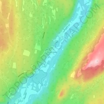
Name: Máze - Masi topographic map, elevation, terrain.
Location: Máze - Masi, Kautokeino, Troms og Finnmark, 9525, Norway (69.42376 23.64707 69.46376 23.68707)
Average elevation: 355 m
Minimum elevation: 256 m
Maximum elevation: 527 m
Thank you for supporting this site ❤️
Make a donation
Make a donation
Other topographic maps
Click on a map to view its topography, its elevation and its terrain.