
黑龍江 topographic map
Interactive map
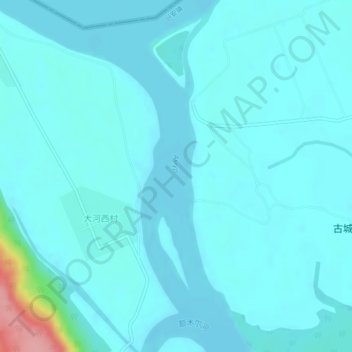
Click on the map to display elevation.
About this map
Name: 黑龍江 topographic map, elevation, terrain.
Location: 黑龍江, 兴安镇, 漠河市, 大兴安岭地区, 黑龙江省, 中国 (53.37099 124.02166 53.39416 124.03477)
Average elevation: 260 m
Minimum elevation: 247 m
Maximum elevation: 366 m