
Thank you for supporting this site ❤️
Make a donation
Make a donation
Antsahakely topographic map
Click on the map to display elevation.
Thank you for supporting this site ❤️
Make a donation
Make a donation
About this map
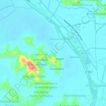
Name: Antsahakely topographic map, elevation, terrain.
Average elevation: 1,254 m
Minimum elevation: 1,241 m
Maximum elevation: 1,341 m
Thank you for supporting this site ❤️
Make a donation
Make a donation
Other topographic maps
Click on a map to view its topography, its elevation and its terrain.
Talata Volonondry
Madagascar > Analamanga > District d'Antananarivo Avaradrano
Average elevation: 1,421 m
Sisaony
Madagascar > Analamanga > District d'Antananarivo Atsimondrano > Ambatofotsy
Average elevation: 1,301 m