
Liberty Township topographic map
Interactive map
Click on the map to display elevation.
About this map
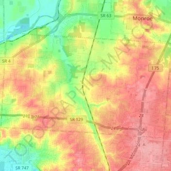
Name: Liberty Township topographic map, elevation, terrain.
Location: Liberty Township, Butler County, Ohio, United States (39.36810 -84.47862 39.43368 -84.33984)
Average elevation: 233 m
Minimum elevation: 181 m
Maximum elevation: 278 m