
Papago Park topographic map
Interactive map
Click on the map to display elevation.
About this map
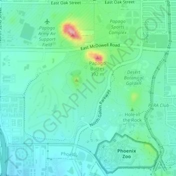
Name: Papago Park topographic map, elevation, terrain.
Average elevation: 387 m
Minimum elevation: 357 m
Maximum elevation: 495 m
The Ponds have a surface area of 6 acres (2.4 ha) with an average depth of 8 ft (2.4 m), the elevation of the area is 1,100 ft (340 m).