
Thank you for supporting this site ❤️
Make a donation
Make a donation
Clarkston topographic map
Click on the map to display elevation.
Thank you for supporting this site ❤️
Make a donation
Make a donation
About this map
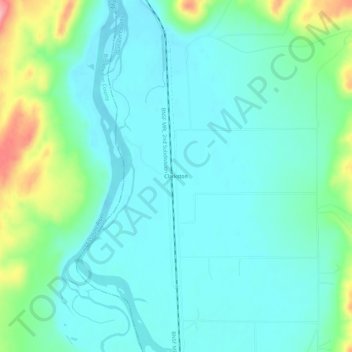
Name: Clarkston topographic map, elevation, terrain.
Location: Clarkston, Gallatin County, Montana, United States (46.00993 -111.43358 46.04993 -111.39358)
Average elevation: 1,236 m
Minimum elevation: 1,208 m
Maximum elevation: 1,332 m
Thank you for supporting this site ❤️
Make a donation
Make a donation
Other topographic maps
Click on a map to view its topography, its elevation and its terrain.