
Thank you for supporting this site ❤️
Make a donation
Make a donation
Richfield Center topographic map
Click on the map to display elevation.
Thank you for supporting this site ❤️
Make a donation
Make a donation
About this map
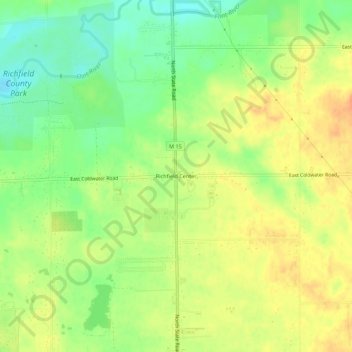
Name: Richfield Center topographic map, elevation, terrain.
Location: Richfield Center, Genesee County, Michigan, United States (43.07280 -83.53829 43.11280 -83.49829)
Average elevation: 240 m
Minimum elevation: 218 m
Maximum elevation: 258 m
Thank you for supporting this site ❤️
Make a donation
Make a donation
Other topographic maps
Click on a map to view its topography, its elevation and its terrain.
Thank you for supporting this site ❤️
Make a donation
Make a donation
Thank you for supporting this site ❤️
Make a donation
Make a donation
Thank you for supporting this site ❤️
Make a donation
Make a donation
Thank you for supporting this site ❤️
Make a donation
Make a donation