
Thank you for supporting this site ❤️
Make a donation
Make a donation
Wintersville topographic map
Click on the map to display elevation.
Thank you for supporting this site ❤️
Make a donation
Make a donation
About this map
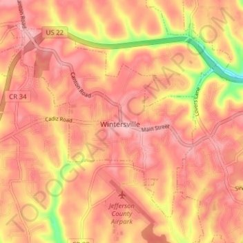
Name: Wintersville topographic map, elevation, terrain.
Location: Wintersville, Jefferson County, Ohio, 43953, United States (40.35709 -80.74737 40.39490 -80.68434)
Average elevation: 346 m
Minimum elevation: 248 m
Maximum elevation: 385 m
Thank you for supporting this site ❤️
Make a donation
Make a donation
Other topographic maps
Click on a map to view its topography, its elevation and its terrain.