
Thank you for supporting this site ❤️
Make a donation
Make a donation
Hagersville topographic map
Click on the map to display elevation.
Thank you for supporting this site ❤️
Make a donation
Make a donation
About this map
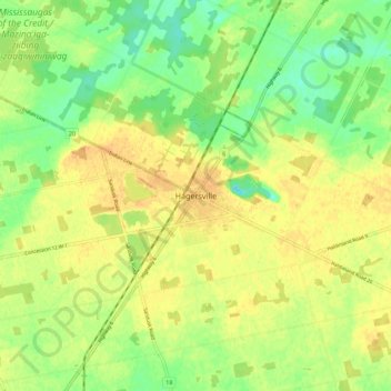
Name: Hagersville topographic map, elevation, terrain.
Location: Hagersville, Haldimand County, Ontario, N0A 1H0, Canada (42.92198 -80.09171 43.00198 -80.01171)
Average elevation: 216 m
Minimum elevation: 198 m
Maximum elevation: 229 m
Thank you for supporting this site ❤️
Make a donation
Make a donation