
Thank you for supporting this site ❤️
Make a donation
Make a donation
Thompson Plateau topographic map
Click on the map to display elevation.
Thank you for supporting this site ❤️
Make a donation
Make a donation
About this map
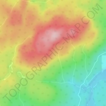
Name: Thompson Plateau topographic map, elevation, terrain.
Average elevation: 1,451 m
Minimum elevation: 1,346 m
Maximum elevation: 1,553 m
Thank you for supporting this site ❤️
Make a donation
Make a donation
Other topographic maps
Click on a map to view its topography, its elevation and its terrain.
Kangaroo
Canada > British Columbia > Regional District of Central Okanagan > East Central Okanagan Electoral Area
Average elevation: 458 m