
Thank you for supporting this site ❤️
Make a donation
Make a donation
Diamond Point topographic map
Click on the map to display elevation.
Thank you for supporting this site ❤️
Make a donation
Make a donation
About this map
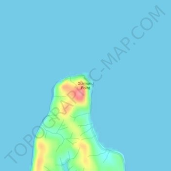
Name: Diamond Point topographic map, elevation, terrain.
Location: Diamond Point, Pacific County, Washington, United States (46.49702 -123.98088 46.49712 -123.98078)
Average elevation: 6 m
Minimum elevation: 0 m
Maximum elevation: 81 m
Thank you for supporting this site ❤️
Make a donation
Make a donation
Other topographic maps
Click on a map to view its topography, its elevation and its terrain.