
Howick topographic map
Click on the map to display elevation.
About this map
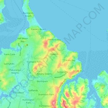
Name: Howick topographic map, elevation, terrain.
Location: Howick, Auckland, 2014, New Zealand (-36.93569 174.88861 -36.85569 174.96861)
Average elevation: 17 m
Minimum elevation: 0 m
Maximum elevation: 92 m
Other topographic maps
Click on a map to view its topography, its elevation and its terrain.