
Thank you for supporting this site ❤️
Make a donation
Make a donation
Syracuse topographic map
Click on the map to display elevation.
Thank you for supporting this site ❤️
Make a donation
Make a donation
About this map
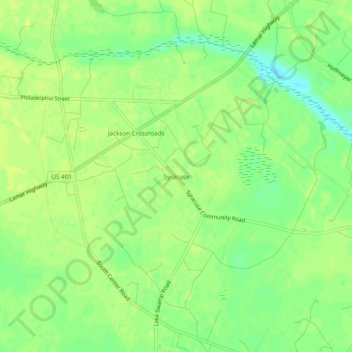
Name: Syracuse topographic map, elevation, terrain.
Location: Syracuse, Darlington County, South Carolina, United States (34.21126 -79.98729 34.25126 -79.94729)
Average elevation: 51 m
Minimum elevation: 40 m
Maximum elevation: 55 m
Thank you for supporting this site ❤️
Make a donation
Make a donation
Other topographic maps
Click on a map to view its topography, its elevation and its terrain.