
Thank you for supporting this site ❤️
Make a donation
Make a donation
Millard topographic map
Click on the map to display elevation.
Thank you for supporting this site ❤️
Make a donation
Make a donation
About this map
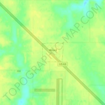
Name: Millard topographic map, elevation, terrain.
Location: Millard, Adair County, Missouri, United States (40.10493 -92.54962 40.10992 -92.54237)
Average elevation: 292 m
Minimum elevation: 279 m
Maximum elevation: 299 m
Thank you for supporting this site ❤️
Make a donation
Make a donation
Other topographic maps
Click on a map to view its topography, its elevation and its terrain.