
Thank you for supporting this site ❤️
Make a donation
Make a donation
chimmini dam topographic map
Click on the map to display elevation.
Thank you for supporting this site ❤️
Make a donation
Make a donation
About this map
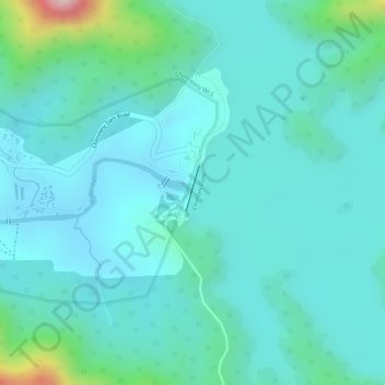
Name: chimmini dam topographic map, elevation, terrain.
Location: chimmini dam, Chalakkudy, Thrissur district, Kerala, India (10.43855 76.46150 10.43865 76.46160)
Average elevation: 87 m
Minimum elevation: 30 m
Maximum elevation: 347 m
Thank you for supporting this site ❤️
Make a donation
Make a donation
Other topographic maps
Click on a map to view its topography, its elevation and its terrain.