
Thank you for supporting this site ❤️
Make a donation
Make a donation
Bolman Estates topographic map
Click on the map to display elevation.
Thank you for supporting this site ❤️
Make a donation
Make a donation
About this map
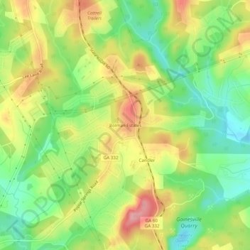
Name: Bolman Estates topographic map, elevation, terrain.
Location: Bolman Estates, Hall County, Georgia, 30507, United States (34.19594 -83.80545 34.23594 -83.76545)
Average elevation: 314 m
Minimum elevation: 258 m
Maximum elevation: 380 m
Thank you for supporting this site ❤️
Make a donation
Make a donation
Other topographic maps
Click on a map to view its topography, its elevation and its terrain.