
Snowden topographic map
Click on the map to display elevation.
About this map
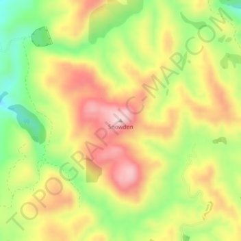
Name: Snowden topographic map, elevation, terrain.
Location: Snowden, Masterton, Wellington, New Zealand (-40.79435 175.72483 -40.79425 175.72493)
Average elevation: 409 m
Minimum elevation: 263 m
Maximum elevation: 545 m