
Make a donation
Warwick topographic map
Click on the map to display elevation.
Make a donation
Warwick
Warwick experiences an altitude-influenced humid subtropical climate (Köppen: Cfa), with hot summers and mild, relatively dry winters with cold nights. Annual precipitation averages 662.4 millimetres (26.08 in), with a summer maximum. The town is slightly cooler and less humid than the proximate southeast Queensland coast due to its elevation; consequently, frost is present in winter. Record temperatures have ranged from 42.2 °C (108.0 °F) on 11 February 2017 to −7.7 °C (18.1 °F) on 8 July 1995. The climate bears similarities with Richmond, an inland suburb of Sydney.
Make a donation
About this map
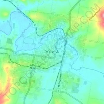
Name: Warwick topographic map, elevation, terrain.
Average elevation: 474 m
Minimum elevation: 444 m
Maximum elevation: 582 m
Make a donation
Other topographic maps
Click on a map to view its topography, its elevation and its terrain.