
Timaru topographic map
Click on the map to display elevation.
About this map
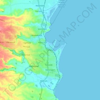
Name: Timaru topographic map, elevation, terrain.
Location: Timaru, Timaru District, 7910, New Zealand (-44.43303 171.21098 -44.35303 171.29098)
Average elevation: 16 m
Minimum elevation: -4 m
Maximum elevation: 82 m