
盐池县 topographic map
Interactive map
Click on the map to display elevation.
About this map
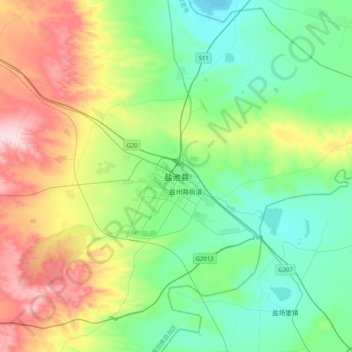
Name: 盐池县 topographic map, elevation, terrain.
Location: 盐池县, 吴忠市, 宁夏回族自治区, 中国 (37.63226 107.23048 37.95226 107.55048)
Average elevation: 1,402 m
Minimum elevation: 1,290 m
Maximum elevation: 1,658 m
Other topographic maps
Click on a map to view its topography, its elevation and its terrain.