
Thank you for supporting this site ❤️
Make a donation
Make a donation
Townsend topographic map
Click on the map to display elevation.
Thank you for supporting this site ❤️
Make a donation
Make a donation
About this map
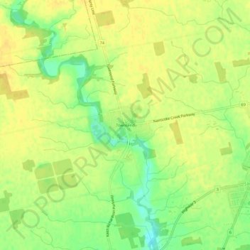
Name: Townsend topographic map, elevation, terrain.
Location: Townsend, Haldimand County, Ontario, N0A 1S0, Canada (42.87372 -80.16149 42.91372 -80.12149)
Average elevation: 213 m
Minimum elevation: 196 m
Maximum elevation: 221 m
Thank you for supporting this site ❤️
Make a donation
Make a donation