
忻府区 topographic map
Interactive map
Click on the map to display elevation.
About this map
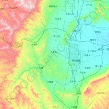
Name: 忻府区 topographic map, elevation, terrain.
Location: 忻府区, 忻州市, 山西省, 中国 (38.20588 112.25891 38.67995 112.96614)
Average elevation: 1,183 m
Minimum elevation: 749 m
Maximum elevation: 2,419 m
Other topographic maps
Click on a map to view its topography, its elevation and its terrain.