
Mount Matthews topographic map
Click on the map to display elevation.
About this map
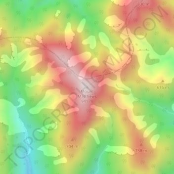
Name: Mount Matthews topographic map, elevation, terrain.
Average elevation: 535 m
Minimum elevation: 148 m
Maximum elevation: 907 m
Other topographic maps
Click on a map to view its topography, its elevation and its terrain.
Lake Wairarapa
New Zealand > Wellington > South Wairarapa District > Featherston Community
Average elevation: 106 m
Lake Ōnoke
New Zealand > Wellington > South Wairarapa District > Featherston Community
Average elevation: 2 m
Lake Wairarapa
New Zealand > Wellington > South Wairarapa District > Featherston Community
Average elevation: 106 m