
Thank you for supporting this site ❤️
Make a donation
Make a donation
Aqualand Park topographic map
Click on the map to display elevation.
Thank you for supporting this site ❤️
Make a donation
Make a donation
About this map
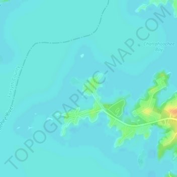
Name: Aqualand Park topographic map, elevation, terrain.
Location: Aqualand Park, Hall County, Georgia, United States (34.20699 -83.96829 34.20709 -83.96819)
Average elevation: 328 m
Minimum elevation: 323 m
Maximum elevation: 355 m
Thank you for supporting this site ❤️
Make a donation
Make a donation
Other topographic maps
Click on a map to view its topography, its elevation and its terrain.