
阜宁镇 topographic map
Interactive map
Click on the map to display elevation.
About this map
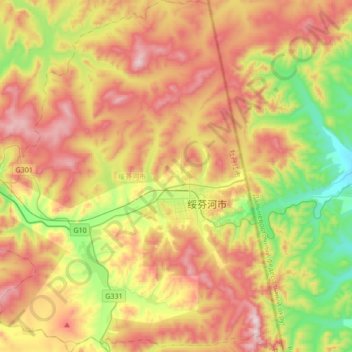
Name: 阜宁镇 topographic map, elevation, terrain.
Location: 阜宁镇, 绥芬河市, 牡丹江市, 黑龙江省, 中国 (44.29199 130.93386 44.53452 131.22751)
Average elevation: 522 m
Minimum elevation: 213 m
Maximum elevation: 867 m
Other topographic maps
Click on a map to view its topography, its elevation and its terrain.