
Thank you for supporting this site ❤️
Make a donation
Make a donation
Ear Mountain topographic map
Click on the map to display elevation.
Thank you for supporting this site ❤️
Make a donation
Make a donation
About this map
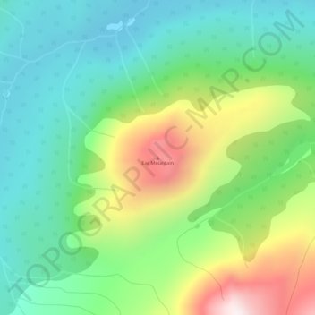
Name: Ear Mountain topographic map, elevation, terrain.
Location: Ear Mountain, Stikine Region, British Columbia, Canada (59.73619 -134.05016 59.73629 -134.05006)
Average elevation: 1,203 m
Minimum elevation: 959 m
Maximum elevation: 1,706 m
Thank you for supporting this site ❤️
Make a donation
Make a donation
Other topographic maps
Click on a map to view its topography, its elevation and its terrain.