
Thank you for supporting this site ❤️
Make a donation
Make a donation
Waverly Way topographic map
Click on the map to display elevation.
Thank you for supporting this site ❤️
Make a donation
Make a donation
About this map
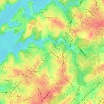
Name: Waverly Way topographic map, elevation, terrain.
Location: Waverly Way, Hall County, Georgia, 30566, United States (34.22621 -83.91851 34.26621 -83.87851)
Average elevation: 356 m
Minimum elevation: 321 m
Maximum elevation: 388 m
Thank you for supporting this site ❤️
Make a donation
Make a donation
Other topographic maps
Click on a map to view its topography, its elevation and its terrain.