
Tablelands topographic map
Click on the map to display elevation.
About this map
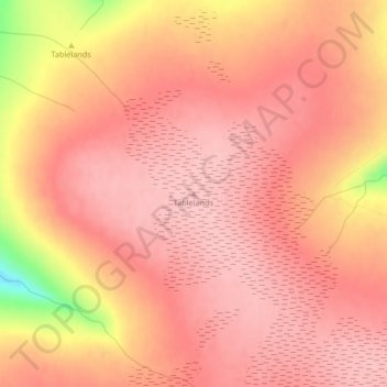
Name: Tablelands topographic map, elevation, terrain.
Location: Tablelands, Newfoundland, Newfoundland and Labrador, Canada (49.44619 -57.99406 49.44629 -57.99396)
Average elevation: 687 m
Minimum elevation: 569 m
Maximum elevation: 720 m
Other topographic maps
Click on a map to view its topography, its elevation and its terrain.
Clarenville
Canada > Newfoundland and Labrador
The Clarenville area has many of the physical features characteristic of the East Coast of Newfoundland and has a marine climate. It lies along the coastal slopes which rise from the Atlantic Ocean towards the interior central plateau of the island. The dominating physical feature is a ridge of broken peaks…
Average elevation: 102 m