
Thank you for supporting this site ❤️
Make a donation
Make a donation
Tyndrum topographic map
Click on the map to display elevation.
Thank you for supporting this site ❤️
Make a donation
Make a donation
About this map
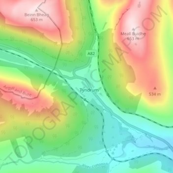
Name: Tyndrum topographic map, elevation, terrain.
Location: Tyndrum, Stirling, Scotland, FK20, United Kingdom (56.41661 -4.73275 56.45661 -4.69275)
Average elevation: 364 m
Minimum elevation: 172 m
Maximum elevation: 650 m
Thank you for supporting this site ❤️
Make a donation
Make a donation