
Thank you for supporting this site ❤️
Make a donation
Make a donation
Habersham topographic map
Click on the map to display elevation.
Thank you for supporting this site ❤️
Make a donation
Make a donation
About this map
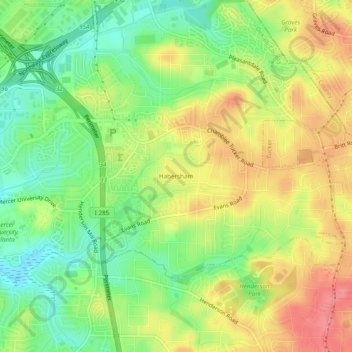
Name: Habersham topographic map, elevation, terrain.
Location: Habersham, DeKalb County, Georgia, 30340, United States (33.85927 -84.25964 33.89927 -84.21964)
Average elevation: 305 m
Minimum elevation: 267 m
Maximum elevation: 344 m
Thank you for supporting this site ❤️
Make a donation
Make a donation
Other topographic maps
Click on a map to view its topography, its elevation and its terrain.