
Thank you for supporting this site ❤️
Make a donation
Make a donation
Chaparral topographic map
Click on the map to display elevation.
Thank you for supporting this site ❤️
Make a donation
Make a donation
About this map
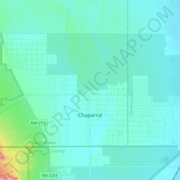
Name: Chaparral topographic map, elevation, terrain.
Location: Chaparral, Doña Ana County, New Mexico, United States (32.00095 -106.52877 32.08247 -106.37697)
Average elevation: 1,245 m
Minimum elevation: 1,216 m
Maximum elevation: 1,486 m
Thank you for supporting this site ❤️
Make a donation
Make a donation
Other topographic maps
Click on a map to view its topography, its elevation and its terrain.
Las Cruces
United States > New Mexico > Doña Ana County > Las Cruces
The approximate elevation of Las Cruces is 3,908 feet (1,191 m) above sea level.
Average elevation: 1,315 m
Thank you for supporting this site ❤️
Make a donation
Make a donation
Organ Mountains Historical Marker
United States > New Mexico > Doña Ana County
Average elevation: 2,294 m