
Thank you for supporting this site ❤️
Make a donation
Make a donation
Seine-et-Marne topographic map
Click on the map to display elevation.
Thank you for supporting this site ❤️
Make a donation
Make a donation
About this map
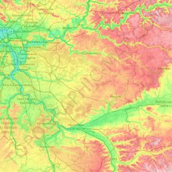
Name: Seine-et-Marne topographic map, elevation, terrain.
Location: Seine-et-Marne, Ile-de-France, Metropolitan France, France (48.12015 2.39233 49.11789 3.55922)
Average elevation: 123 m
Minimum elevation: 28 m
Maximum elevation: 281 m
Thank you for supporting this site ❤️
Make a donation
Make a donation