
柳园口乡 topographic map
Interactive map
Click on the map to display elevation.
About this map
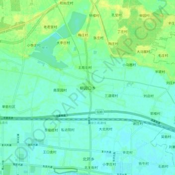
Name: 柳园口乡 topographic map, elevation, terrain.
Location: 柳园口乡, 龙亭区, 开封市, 河南省, 中国 (34.81868 114.31661 34.89868 114.39661)
Average elevation: 77 m
Minimum elevation: 71 m
Maximum elevation: 87 m
Other topographic maps
Click on a map to view its topography, its elevation and its terrain.
河南省安阳师范学院家属院-家
河南省安阳师范学院家属院-家, 平原路, 紫薇大道街道, 开发区银杏大街街道, 文峰区, 安阳市, 河南省, 455000, 中国
Average elevation: 69 m