
Thank you for supporting this site ❤️
Make a donation
Make a donation
Mt Harrison topographic map
Click on the map to display elevation.
Thank you for supporting this site ❤️
Make a donation
Make a donation
About this map
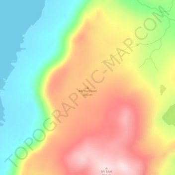
Name: Mt Harrison topographic map, elevation, terrain.
Location: Mt Harrison, Huon Valley, Tasmania, Australia (-54.59164 158.86301 -54.59154 158.86311)
Average elevation: 167 m
Minimum elevation: -1 m
Maximum elevation: 347 m
Thank you for supporting this site ❤️
Make a donation
Make a donation
Other topographic maps
Click on a map to view its topography, its elevation and its terrain.
Thank you for supporting this site ❤️
Make a donation
Make a donation
Thank you for supporting this site ❤️
Make a donation
Make a donation